
GPS-Denied Warfare The New Tech Powering Drones in Dark Zones
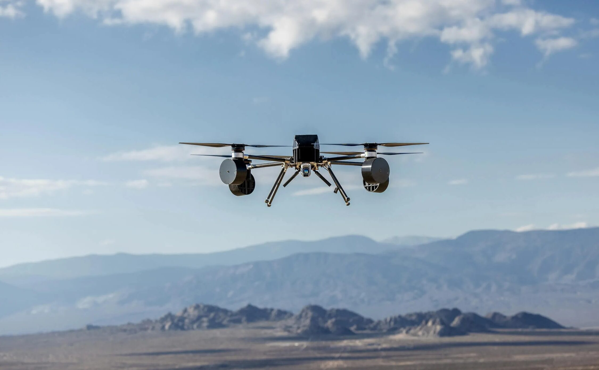
These newer systems utilize on-board optical cameras, artificial intelligence algorithms, and inertial sensors to precisely navigate through areas where there are no GPS signals (e.g., urban canyons, jammed battlefields, and buildings). Many militaries spend approximately $8 billion per year for UAVs that include the ability to operate without GPS signals.
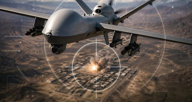
The GPS Vulnerability Everyone Overlooked
The positioning system used by 99% of Commercial Drones is the Global Positioning System. With a cost of $1,000 these jammers disable a $1M drone in seconds. In 2025 Russia jammed GPS in 70% of the airspace over Ukraine. In the South China Sea China operates jammers from trucks. GPS Denial has been termed 'the most imminent threat to Air Dominance' by the Pentagon.
A Solution: Drones that navigate like humans, using visual references, motion sensing and Terrain Memory (there is no requirement for satellite navigation).
Core Technologies Making It Possible
Visual Inertial Odometry (VIO) is a technique that combines camera images with gyroscope and accelerometer data to give drones the ability to see landmarks for navigation purposes and accurately determine their position at a 10-cm level while inside buildings. This technology is similar to how autonomous vehicles operate, except there is more freedom of movement in the air than on the ground.
AI Terrain Matching is a way of including real-time images taken by a drone as a reference point for comparing to previously prepared 3D maps. Urban locations can become valuable resources rather than being considered as a hindrance. The process of SLAM (Simultaneous Localization and Mapping) can be used at any resolution, nor does it matter whether it's done with visible light, infrared or in complete darkness; therefore, it is useful both in low-visibility environments (i.e. fog) and when viewing objects through an extensive amount of heat.
SLAM (Simultaneous Localization and Mapping) allows for the construction of maps while they are being created. It is a great solution for identifying uncharted indoor areas, which include areas that have been impacted by natural disasters, underground facilities, or areas where buildings have collapsed.
Optical Flow can be used to calculate movement of the earth's surface directly beneath a drone. It is an inexpensive method of determining position and movement, and can be utilized when there is no GPS signal available (complete GPS blackout).
Real-World Deployments Already Happening
2025 Ukraine – 87% of US Owned Raptor VIO + terrain matching to execute in jamming areas vs 23% using GPS.
US Marines – Anduril Bolt-M lattice loitering munitions can fly 4 hours using VIO + SLAM (GPS denied).
Israel – Elbit Hermes 900 has AI optical navigation integrated into urban strike packages.
China – Norinco Dark Sword UCAV demonstrated autonomous 200-km penetration of enemy airspace without GPS.
The Swarm Multiplier Effect
Drones with no GPS assistance can form swarm formations indefinitely. A peer-to-peer network can pass the position information between units. A leader can be "lost," but the swarm will continue to re-organize. If the leader is jammed, a back-up will "kick in." Swarms with 100 drones can overcome air defence systems due to the swarming redundancy effect.
DARPA's "Gremlins" project successfully recovered 85% of its autonomous swarming fleet of 40 aircraft in jamming environments.
Commercial Spillover Beyond Defense
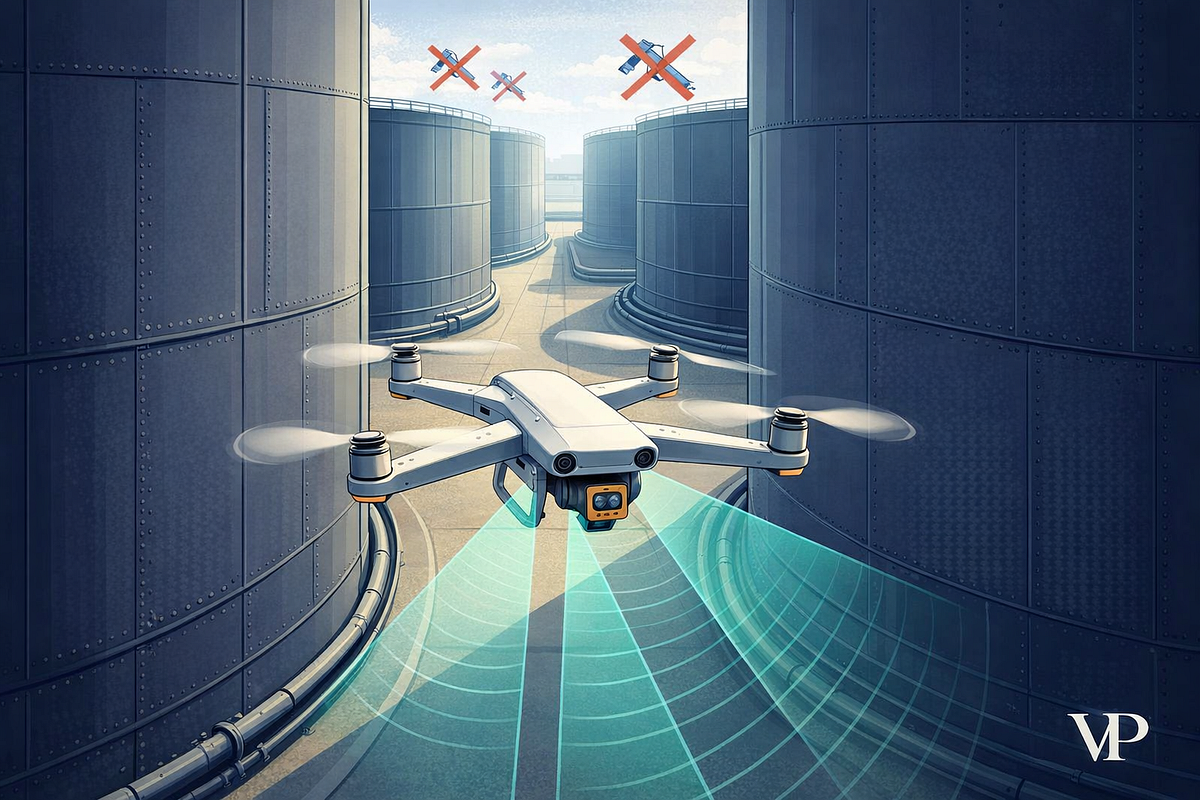
- Oil & gas: Indoor drone inspection eliminates the need for humans to enter pressure vessels or refineries
- Mining: Autonomous mapping is done in collapsed tunnels and underground where GPS is not available
- Search & rescue: Rubble is penetrated and buildings filled with smoke
- Warehousing: Inventory in steel buildings where GPS is not available
$2.3B indoor drone inspection market growing at 29% compound annual growth rate until 2030.
Hardware Cost Convergence
A simple VIO is priced at $300 with a Jetson Orin module and wide-angle camera. A complete autonomous stack will cost $2,500 (20% of the price of a drone with GPS). There are open-source ROS2 frameworks for swarm coordination which prevent proprietary lock-in; 50,000 units with VIO capabilities are being shipped to the U.S. from China; commercially available products will emerge despite U.S. export controls.
Business Positioning Plays
Short-term opportunities:
- Retrofit kits: Existing fleets & upgrade $5K
- AI navigation software: Requires a per-mission license fee ($500 each time a flight occurs)
- SWARM Orchestration will be done through an enterprise contract worth $2M
3-year horizon:
- Logistics: Last mile delivery on urban roadways during congestion
- Infrastructure: Bridge/tunnel inspections performed autonomously
- Security: Replacing manned towers with perimeter patrols
The Strategic Math
The cost of a disabled GPS reliant drone is $15K, while a VIO drone would have a flat operating expense of $2M. A successful strike would yield approximately 80 times the development investment back. Countries incapable of having a GPS-operated drone will be at risk to others who can jam the drone.
Investment Timeline
Currently, tier-2 vendors (Skydio, Shield AI) have a forward valuation of 8x revenue growth. In the next 18 months, swarm-technology platforms for drone operations have been forecasted to yield 20x returns.
In the next 36 months, indoor autonomy will be essential for competing in this market segment. GPS-denied warfare represents a fundamental rethinking of how to fight and will result in a fundamental re-architecting of what it means to control the sky. That is, the companies who are able to provide navigation technologies without requiring satellites will generate a different level of development / access than did previous companies, and will not only provide their companies with additional contracts but will change the definition of air power.
Latest Posts